
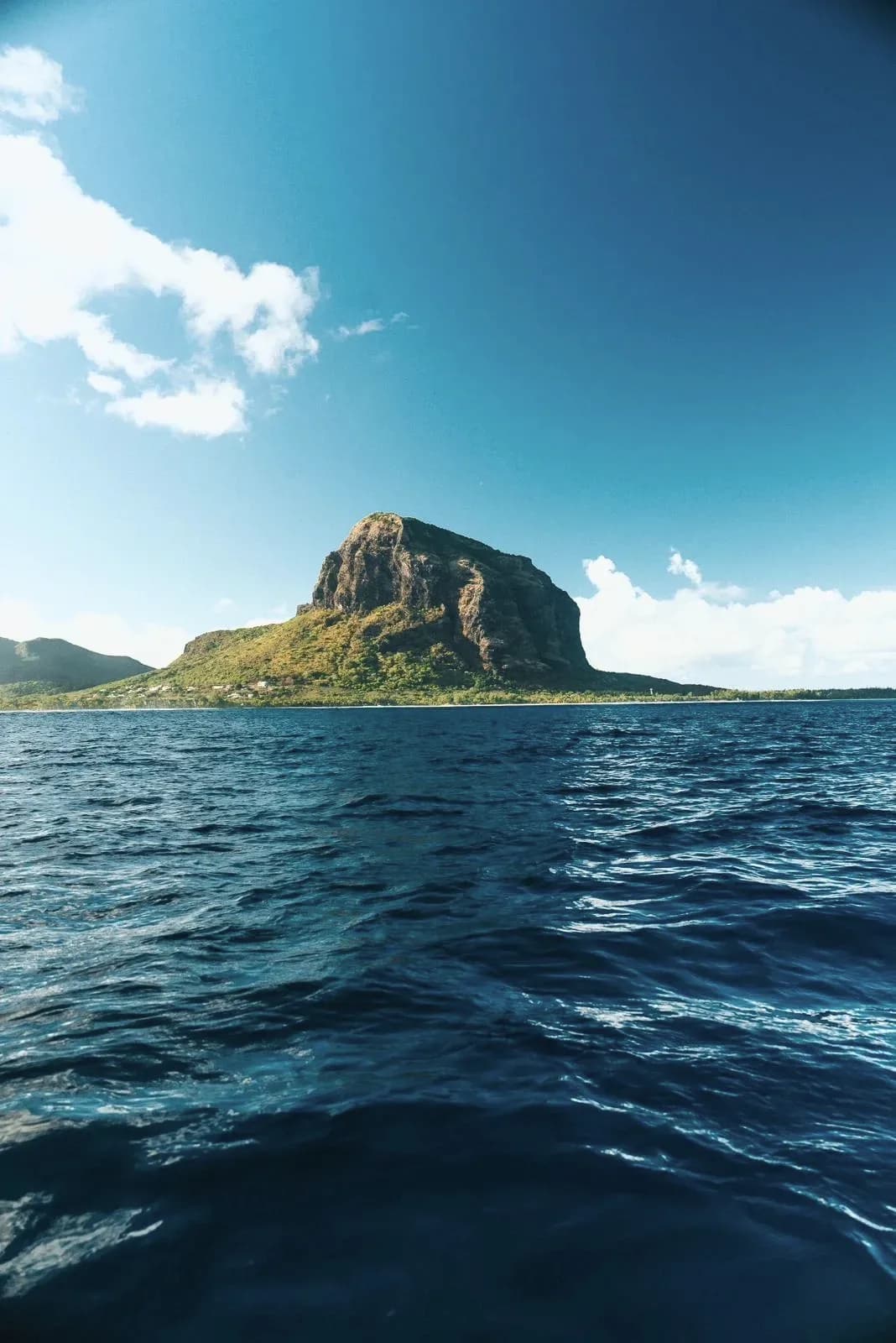
The Southwest Loop At A Glance
From Le Morne, follow the coast past La Prairie toward Macondé and Baie du Cap, then climb inland toward Chamarel before returning through Case Noyale and La Gaulette. The loop moves from lagoon to open coast, then into the highlands and back to the mountain.
It is compact on a map but should not be rushed. The value comes from the change in landscape and the small pauses between the headline stops.
Stop One At La Prairie
La Prairie gives one of the clearest ground-level views back toward Le Morne. It is a local beach and picnic area rather than a polished resort strip, which is exactly why it works as the first stop.
Use it for a short walk, photographs and a quiet look across the lagoon. Swimming conditions vary by zone and weather, so treat it as a scenic stop unless the water is clearly suitable.
Stop Two At Macondé
At Macondé, the coast road bends between rock and ocean. The viewpoint is small, exposed and close to moving traffic, so park only where permitted and stay aware of the road.
This is a short stop, not a destination that needs an hour. The wider pleasure is the coastal section around it, with changing views toward the cliffs and open sea.
Stop Three Around Baie Du Cap
Baie du Cap is where the road-trip character becomes more local. Fishing activity, village life and the coast replace the resort atmosphere of the peninsula.
Pause for food or continue inland depending on the time. The aim is not to collect every beach. It is to leave room for the highland road and Chamarel later in the day.
Climb Into Chamarel
The inland road brings forest, cooler air and long views over the southwest. Add Chamarel Waterfall and the Seven Coloured Earth if this is a full-day loop, or choose a viewpoint and lunch if you are keeping the drive light.
Return through Case Noyale and La Gaulette. This direction brings the lagoon back into view and places you close to Le Morne for late afternoon.
A Half-Day Version
Drive Le Morne, La Prairie, Macondé and Baie du Cap, then return along the same coast. This version suits travellers who want the scenery without adding admission-based attractions or a long mountain road.
Start after breakfast and return for lunch, or leave after lunch and make La Prairie the final stop before sunset.
A Full-Day Version
Start on the coast, stop at La Prairie and Macondé, continue through Baie du Cap, then spend the middle of the day in Chamarel. Choose two principal Chamarel stops and a proper lunch before returning through La Gaulette.
If the Le Morne hike is part of the day, remove most of this loop. The full climb and the full scenic circuit compete for the same energy and daylight.
Driving Safely And Respectfully
Mauritius drives on the left. The southwest roads include bends, village traffic, buses, cyclists, pedestrians and places with little shoulder. Slow down before blind corners and never stop in the carriageway for a photograph.
Keep the route flexible during heavy rain or poor visibility. A shorter coastal drive is better than pushing through the highlands just because the map says it is possible.
- Use designated parking or a complete pull-off.
- Keep valuables out of sight when leaving the car.
- Download the route before entering weaker-signal areas.
- Avoid finishing unfamiliar winding roads after dark.
Frequently Asked Questions
How long does the Le Morne southwest scenic drive take?
Allow half a day for the coast and viewpoints. Allow a full day if you add Chamarel attractions and lunch.
Can I do the route without a rental car?
Yes, with an arranged taxi or private driver. Public buses are useful on parts of the coast but are not practical for a flexible sightseeing loop.
Which direction should I drive?
The coast-first loop works well in daylight and returns through Chamarel and La Gaulette. Reverse it when weather or attraction timings make an early Chamarel visit more sensible.
Is Macondé safe for photographs?
Use the designated stopping area, watch traffic and stay within the viewpoint space. Do not stand in the road or on an unprotected bend for a photograph.
Prefer the highlands in more depth?
Use the dedicated Chamarel guide to choose between the waterfall, coloured earth, forest and a slower lunch.